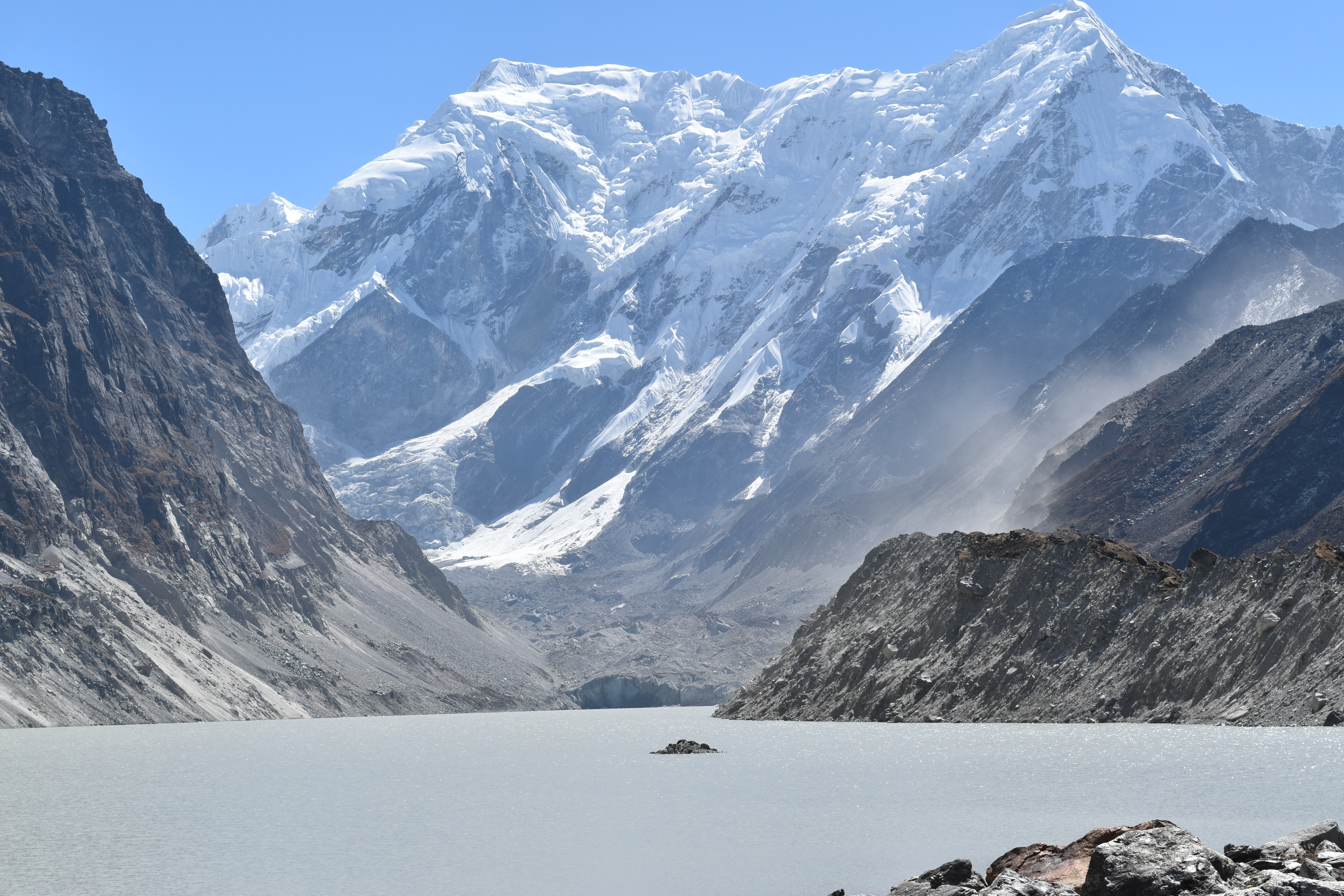
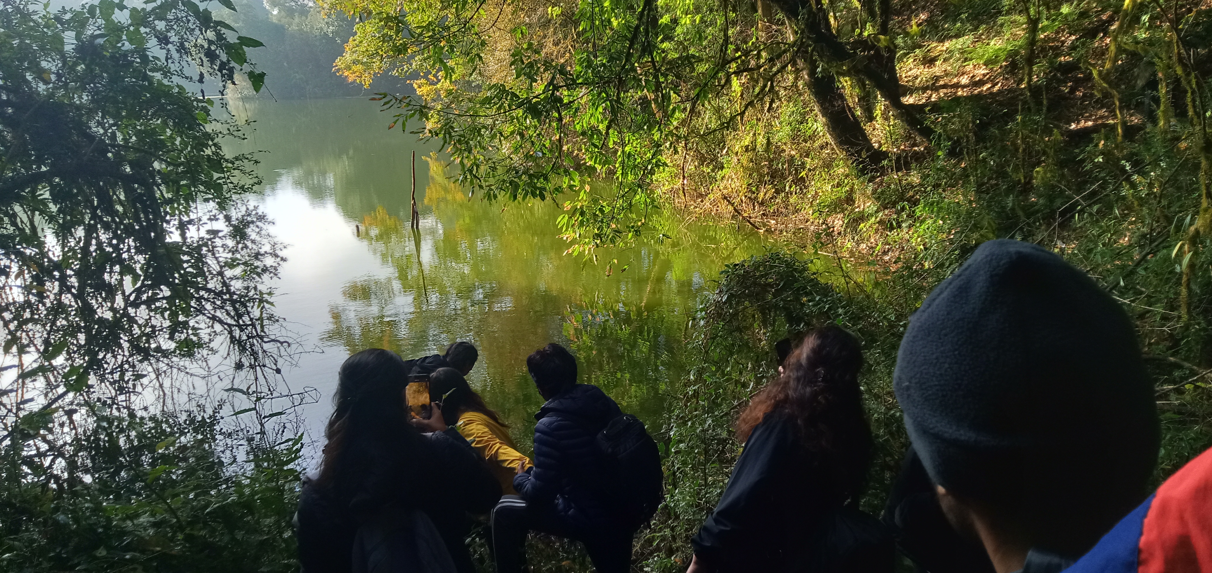
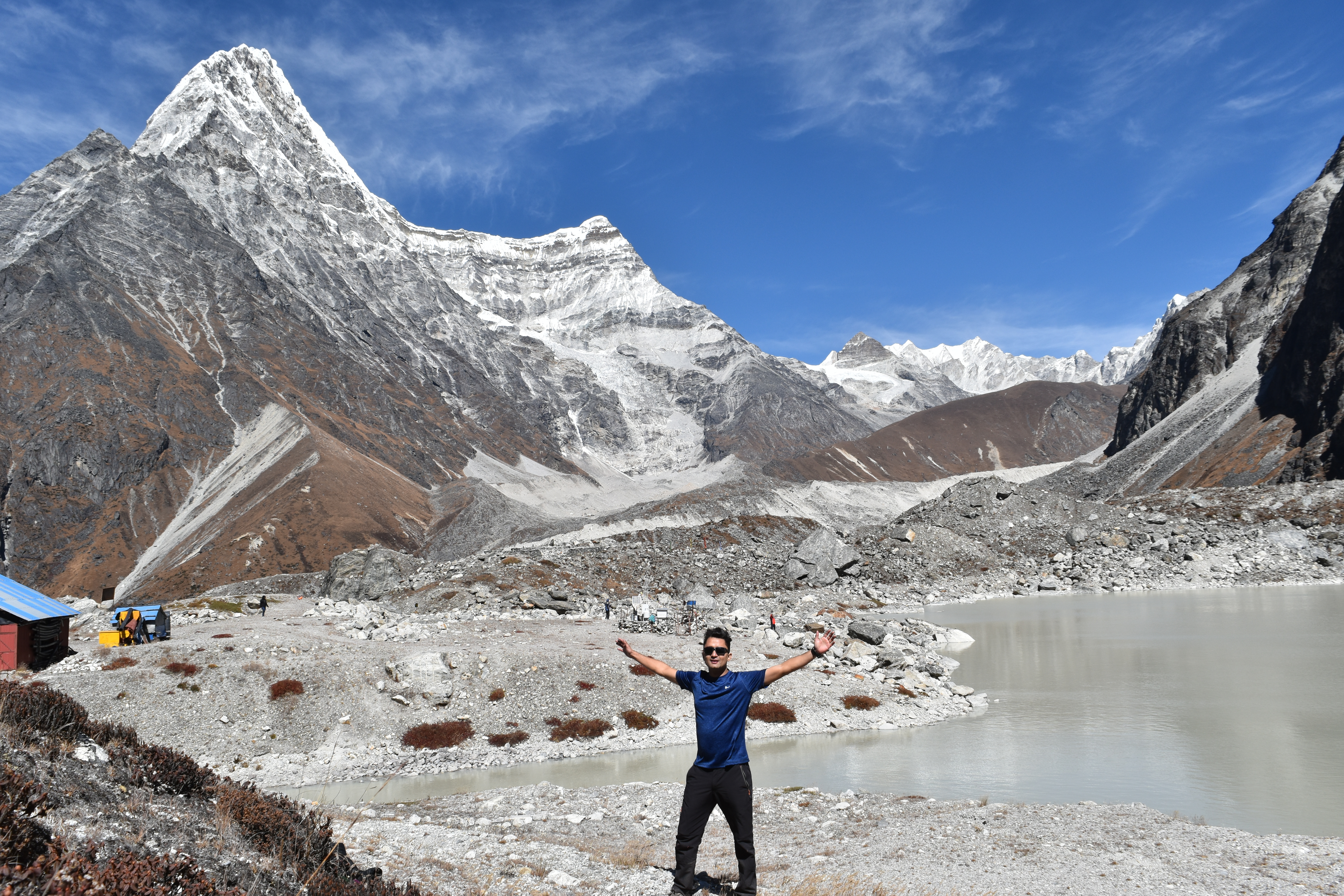
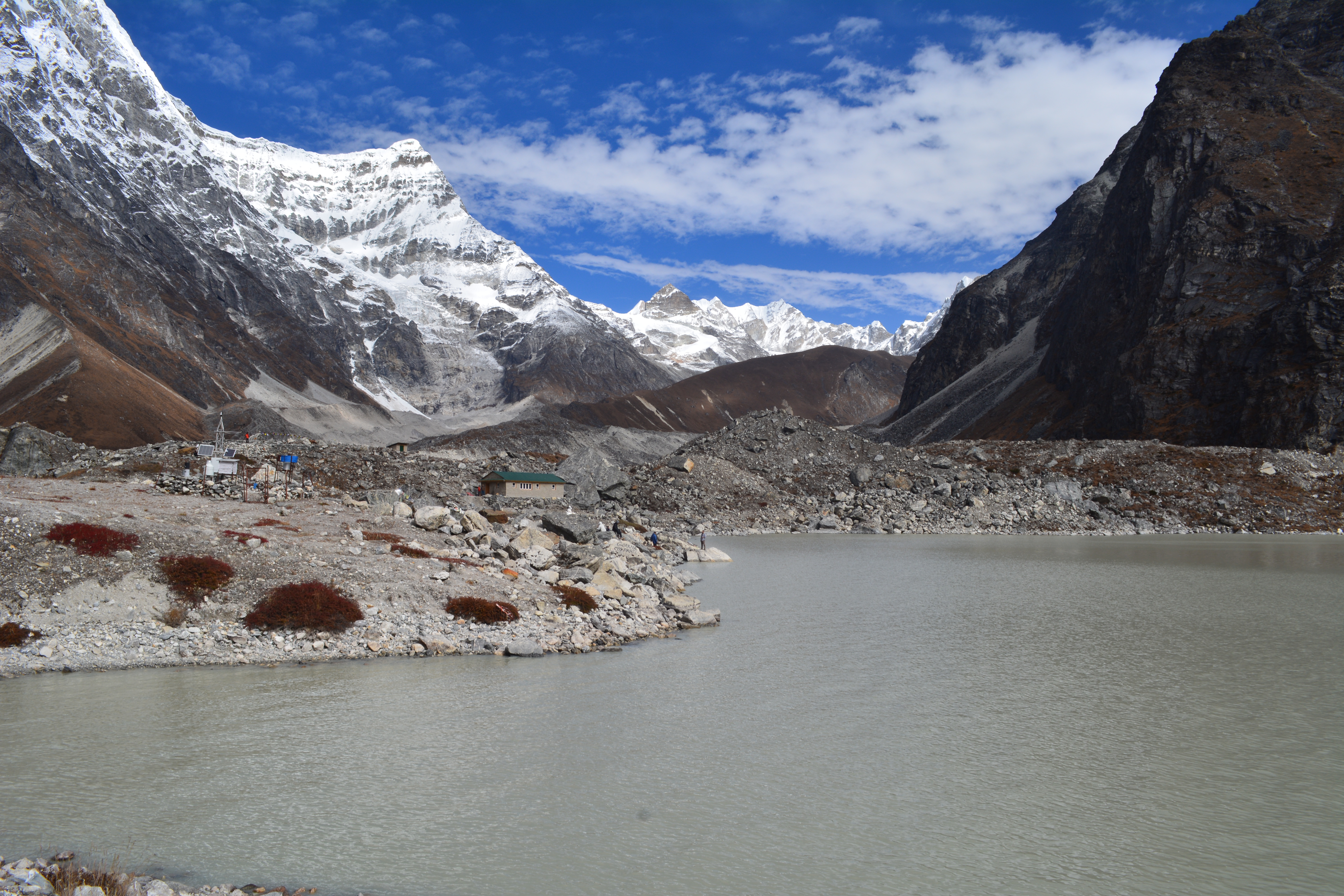
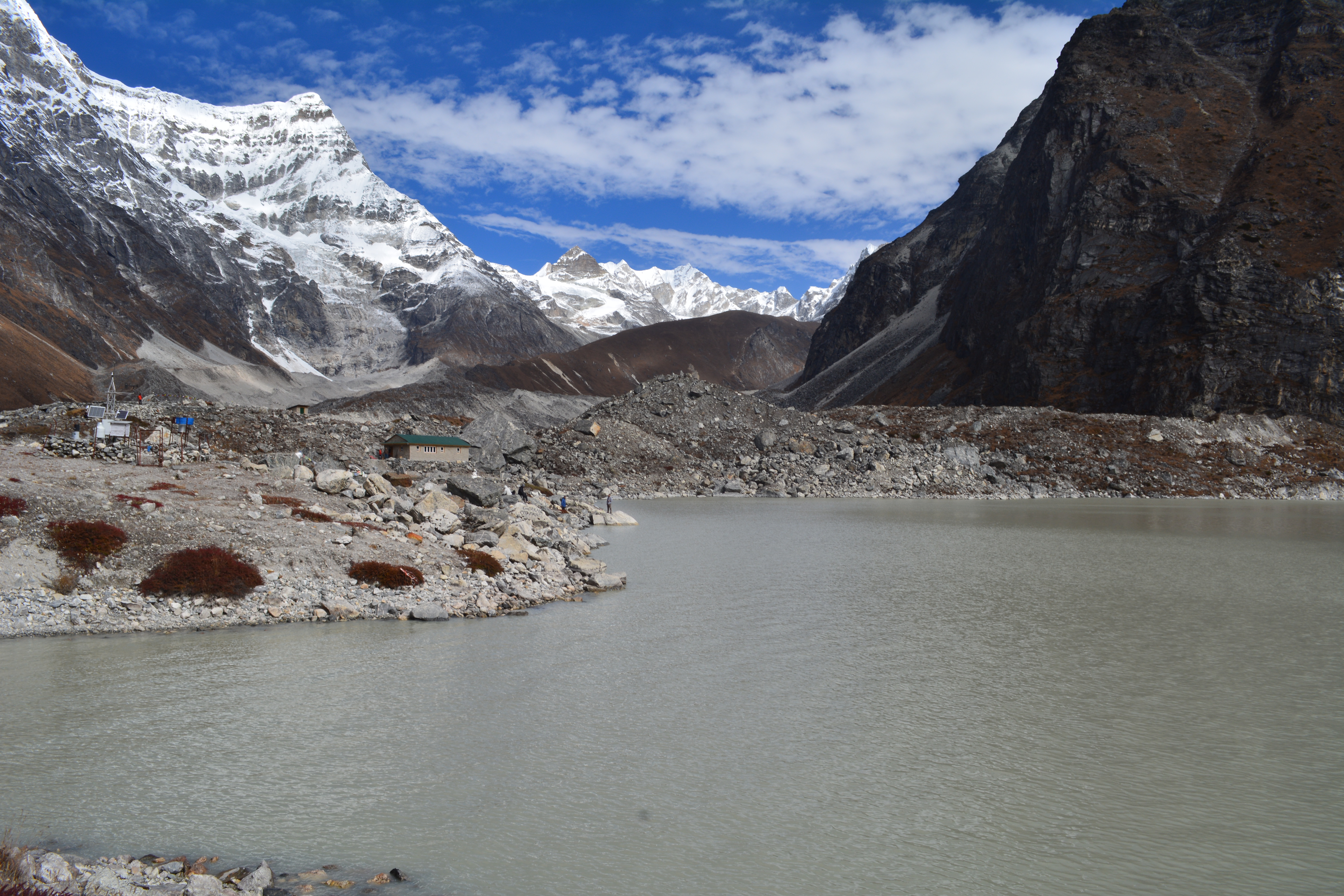
Tsho Rolpa Lake -Rolwaling Valley
Tsho Rolpa- Rolwaling valley is known for commuity conservation initiatives and approaches in managing the outflow of GLOF.
-
Destination
Nepal
-
Altitude
1500-7246m
-
Group
Solo-group
-
Published
Aug 2025
Overview
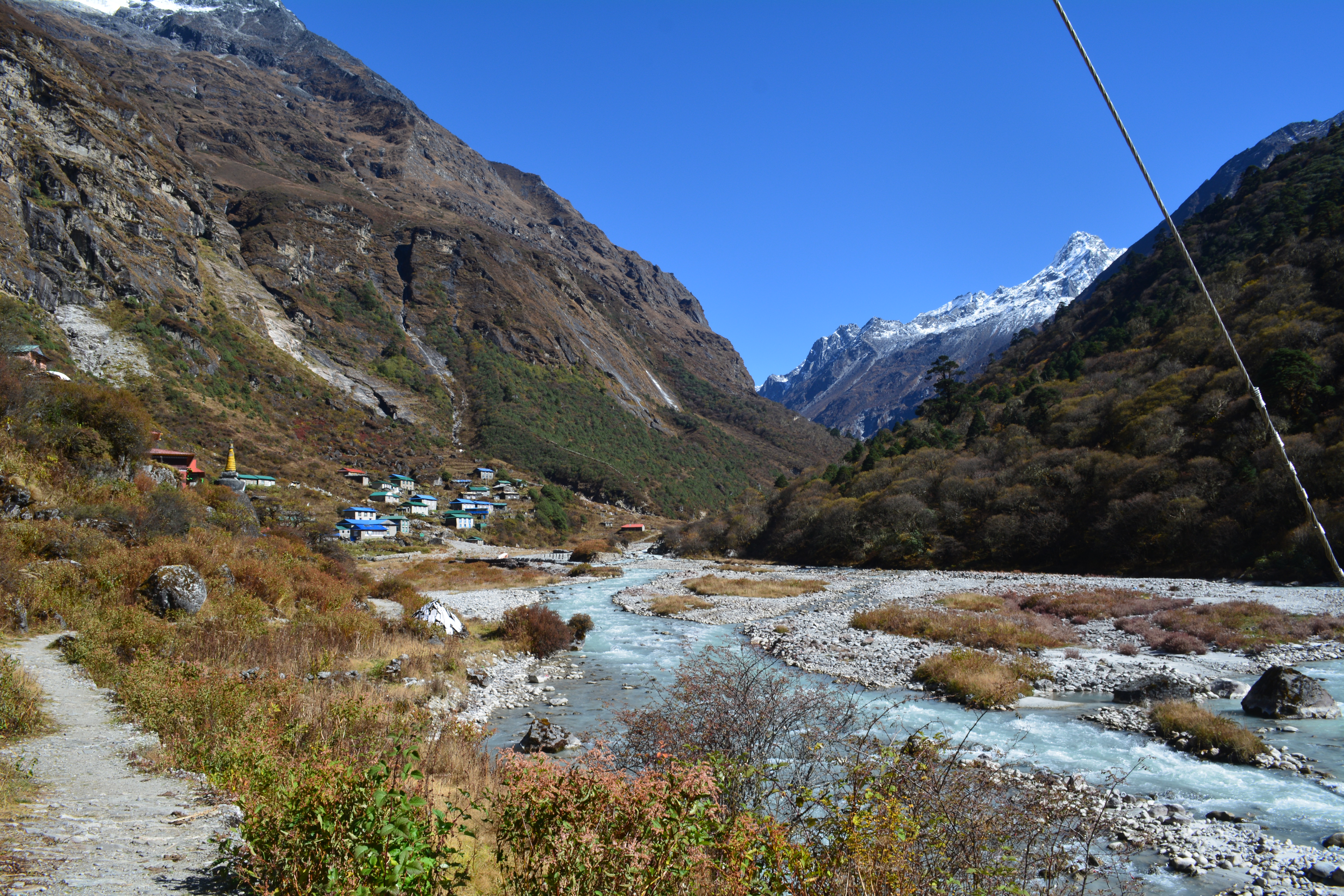
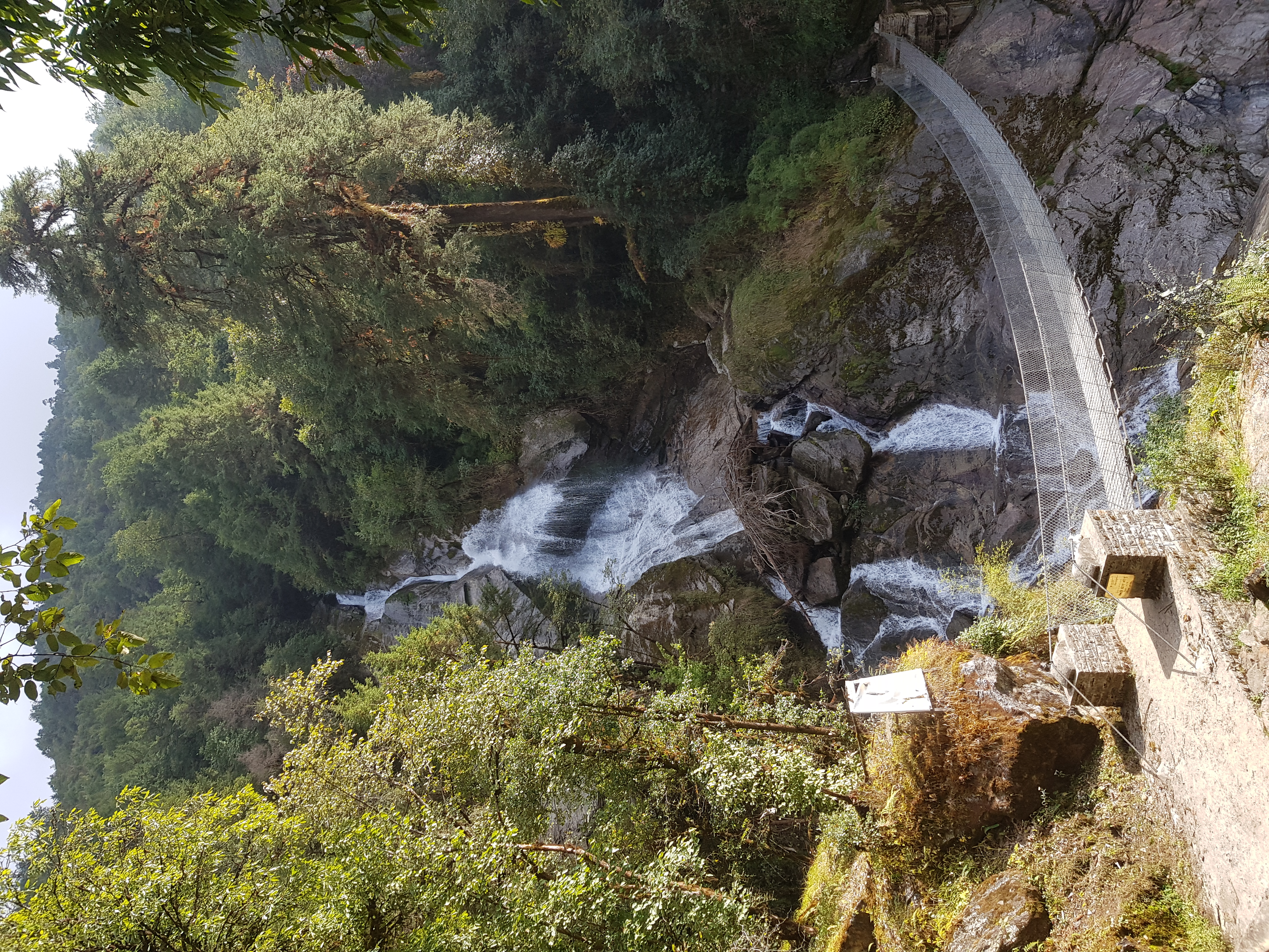
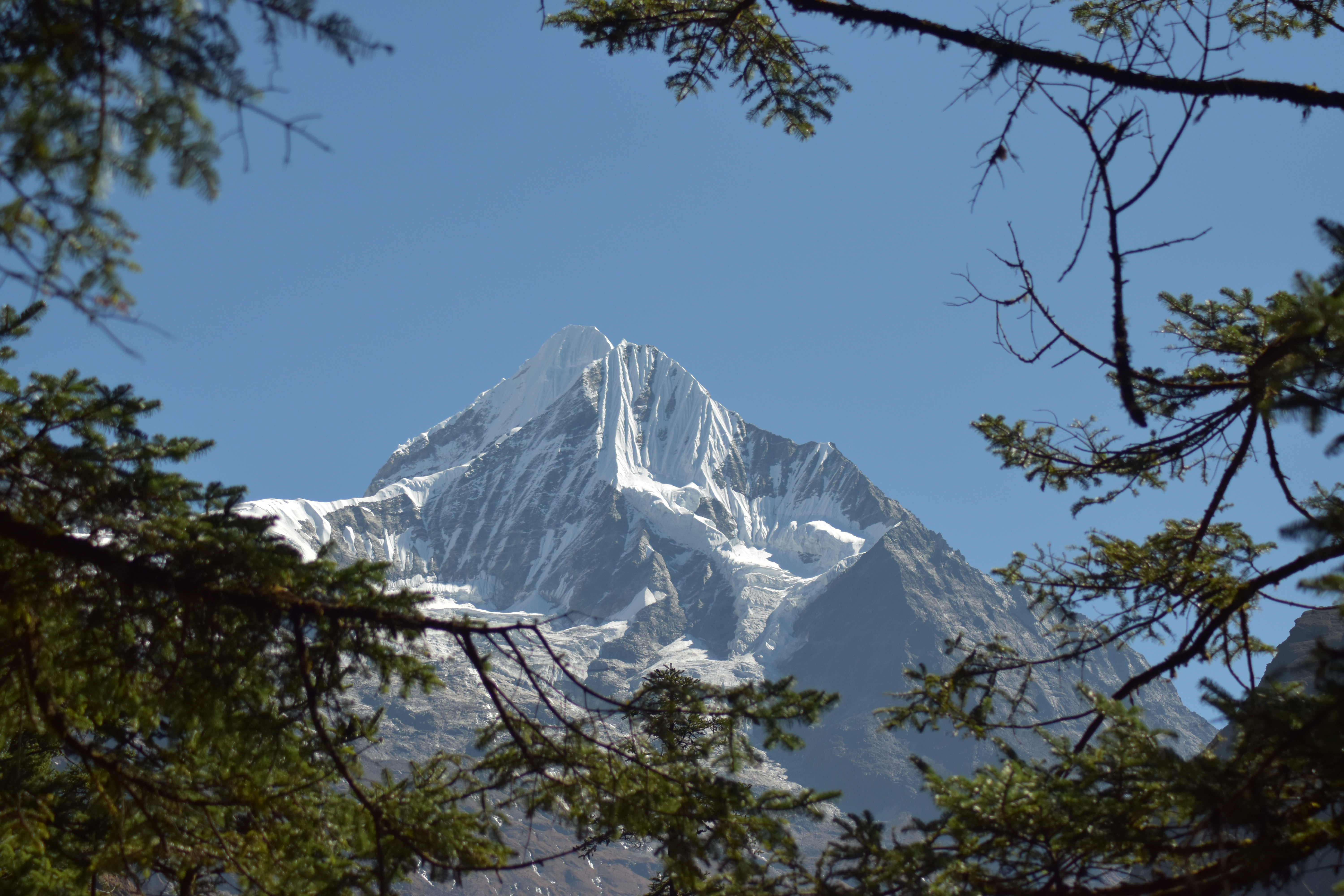
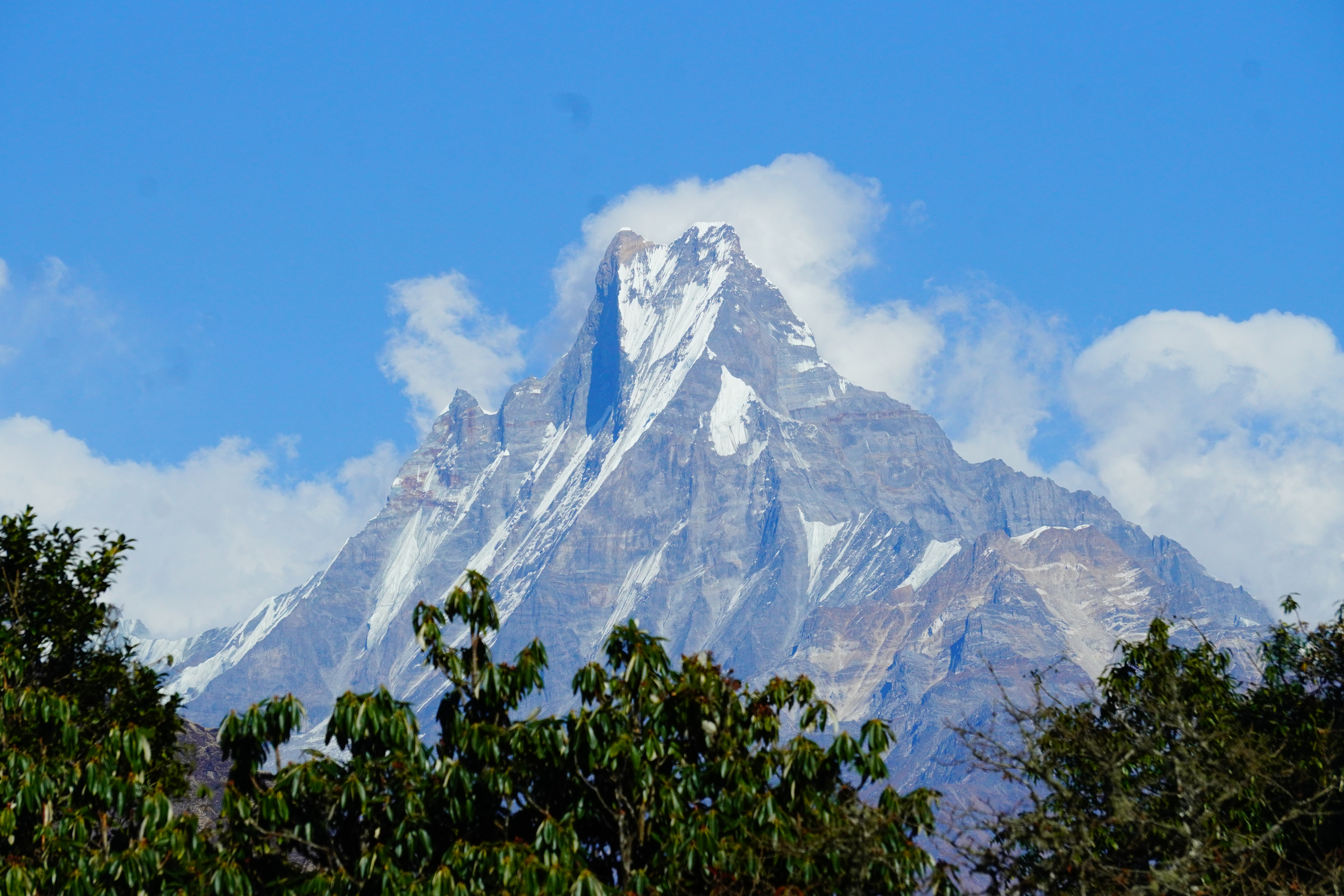
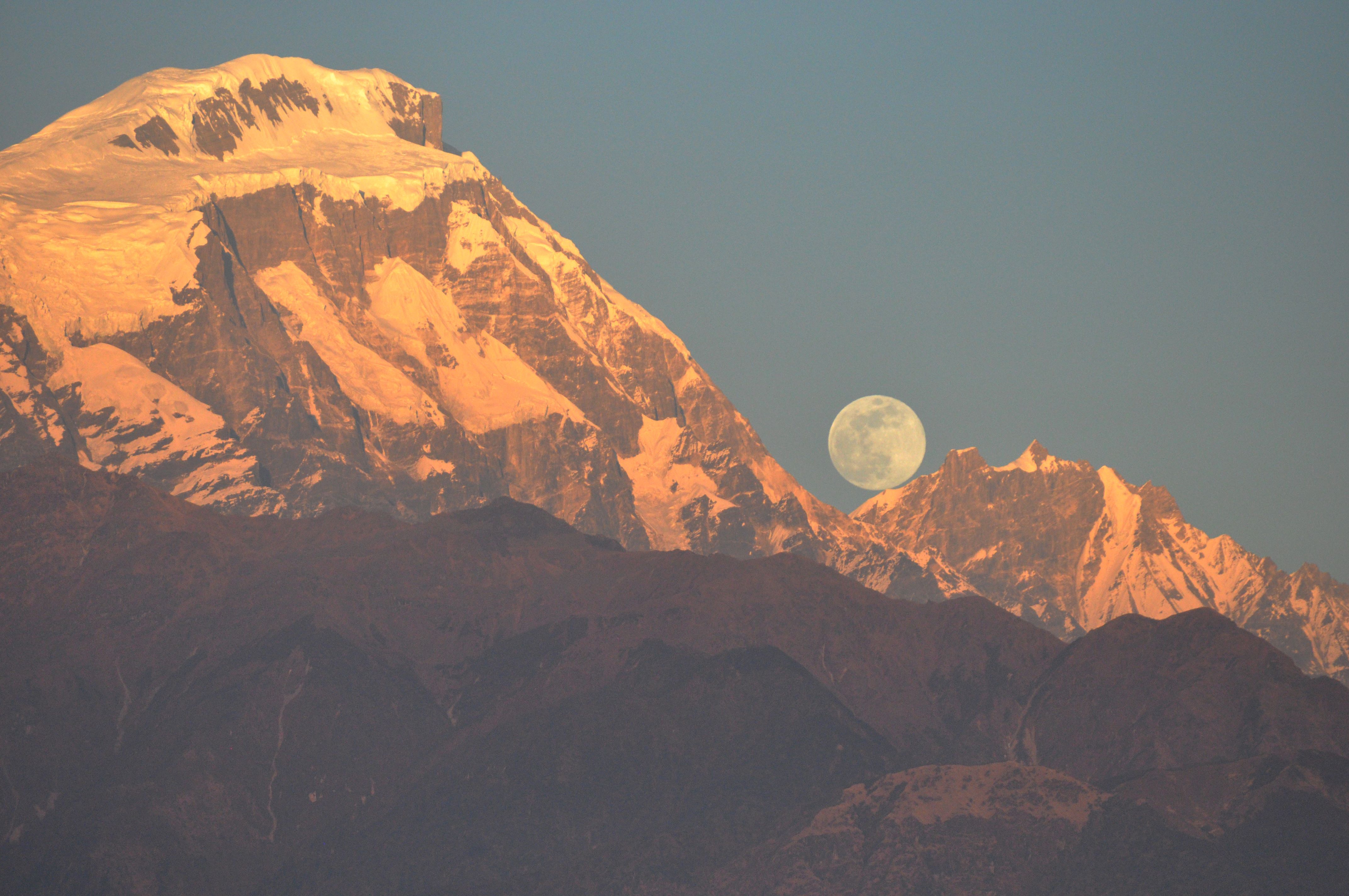
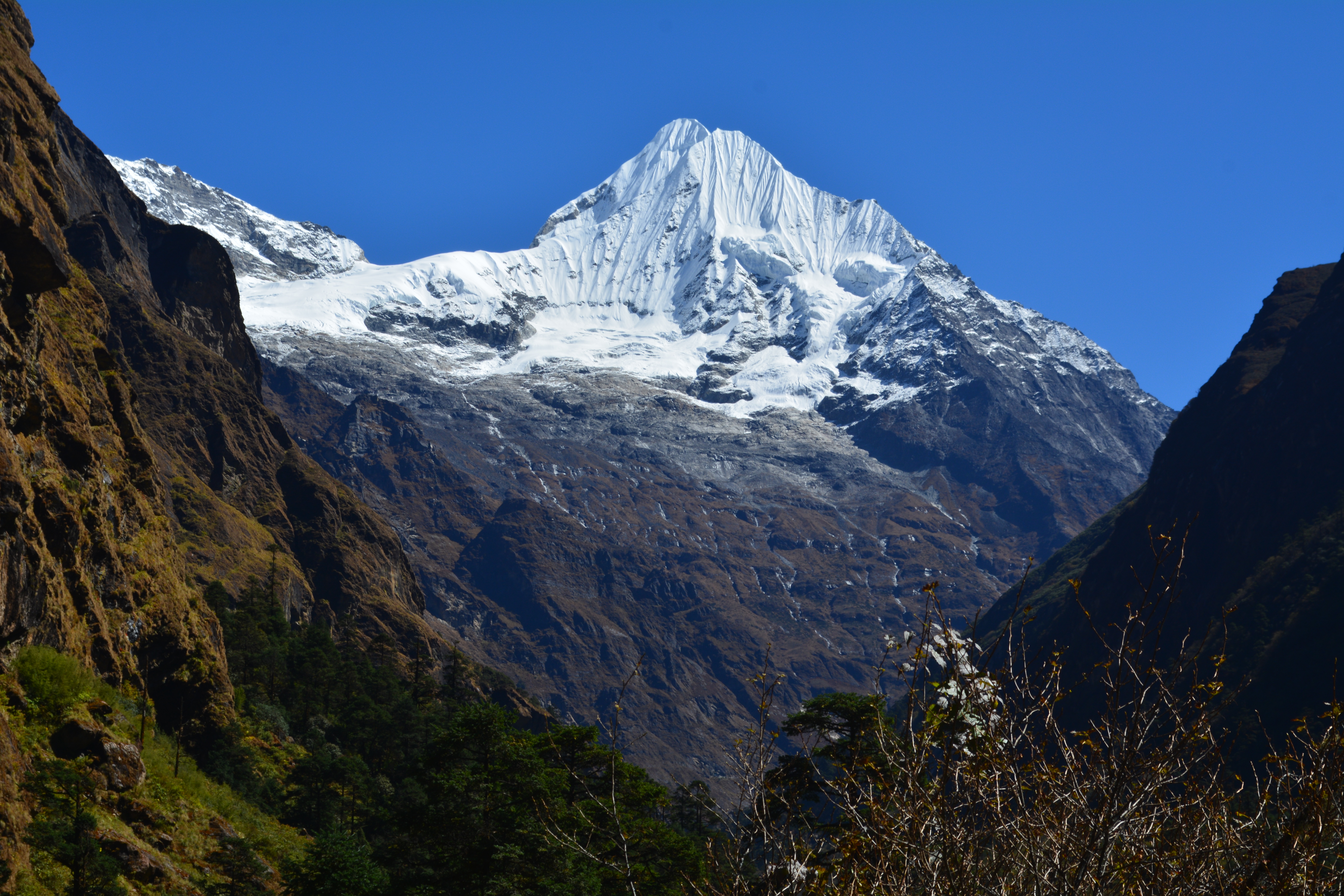
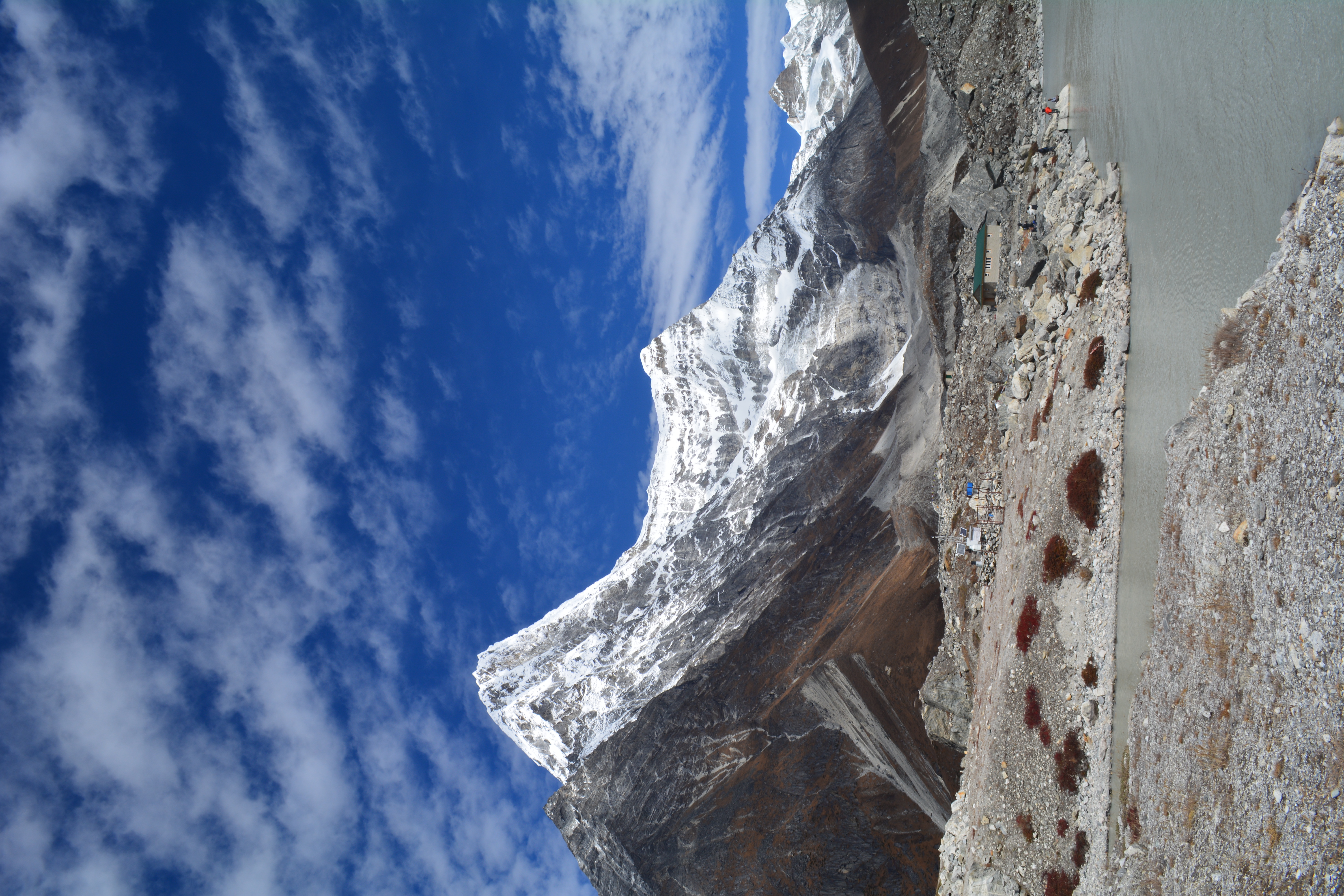
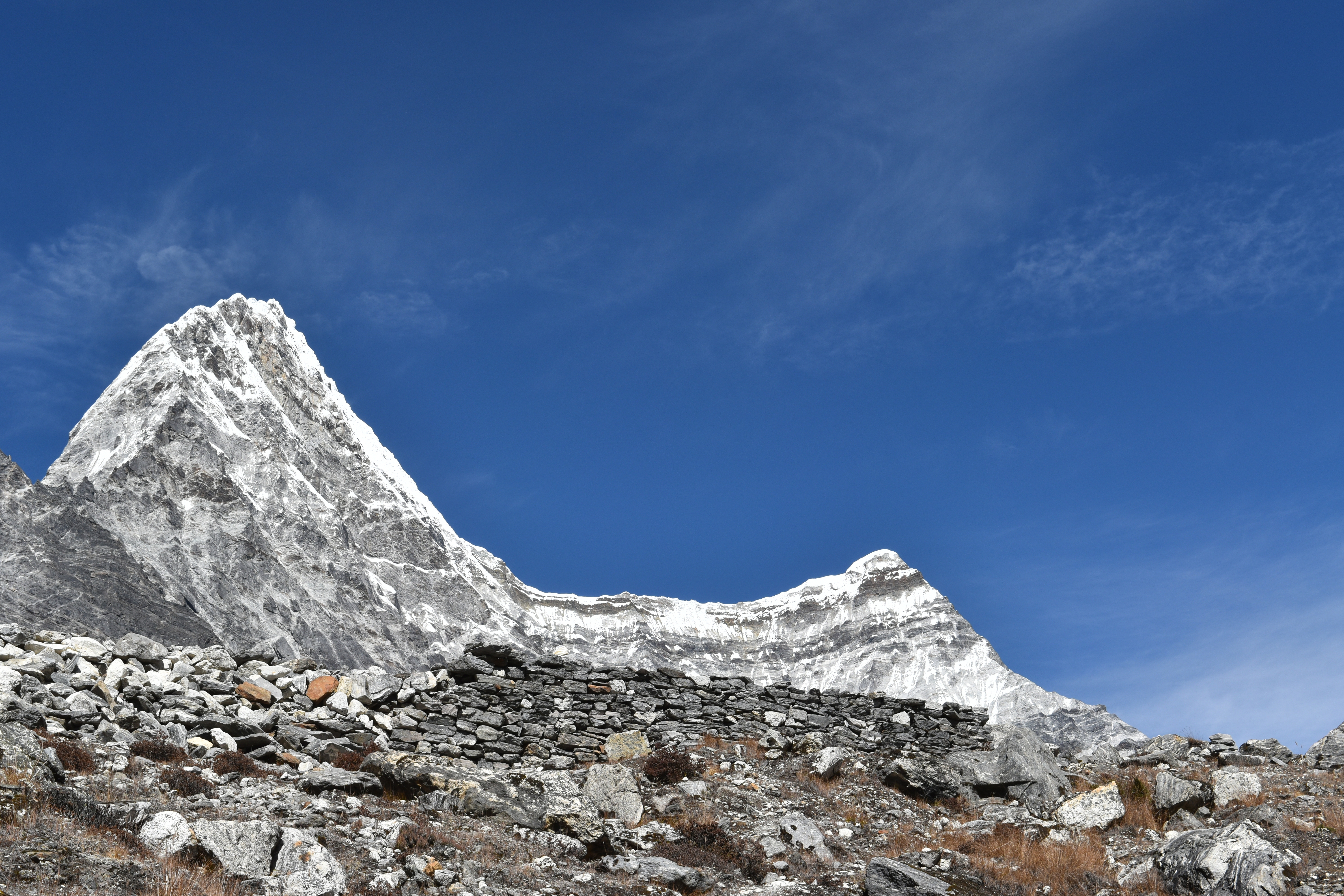
Rolwaling means ‘valley carved by a plough,' and its cliffs give the impression of a plough-carved furrow. Rolwaling, an inner Himalayan valley, is considered Beyal, a holy Buddhist sanctuary, by the local Sherpa inhabitants. The alpine lakes, high pastures, waterfalls, hanging glaciers, deep valleys, and views of the snow-capped mountains make this trek a treat for every trekker.
Rolwaling Valley Trek, popularly known as the Tsho Rolpa Trek in the Gaurishankar Conservation Area, has villages, farming fields, forests, rivers, waterfalls, greenery, mountains, and everything. This off-beaten trail looks natural and allows trekkers to explore nature and themselves. The alpine lakes, high pastures, waterfalls, hanging glaciers, deep valleys, and views of the snow-capped mountains make this trek a treat for every trekker.
Gaurishankar Conservation Area
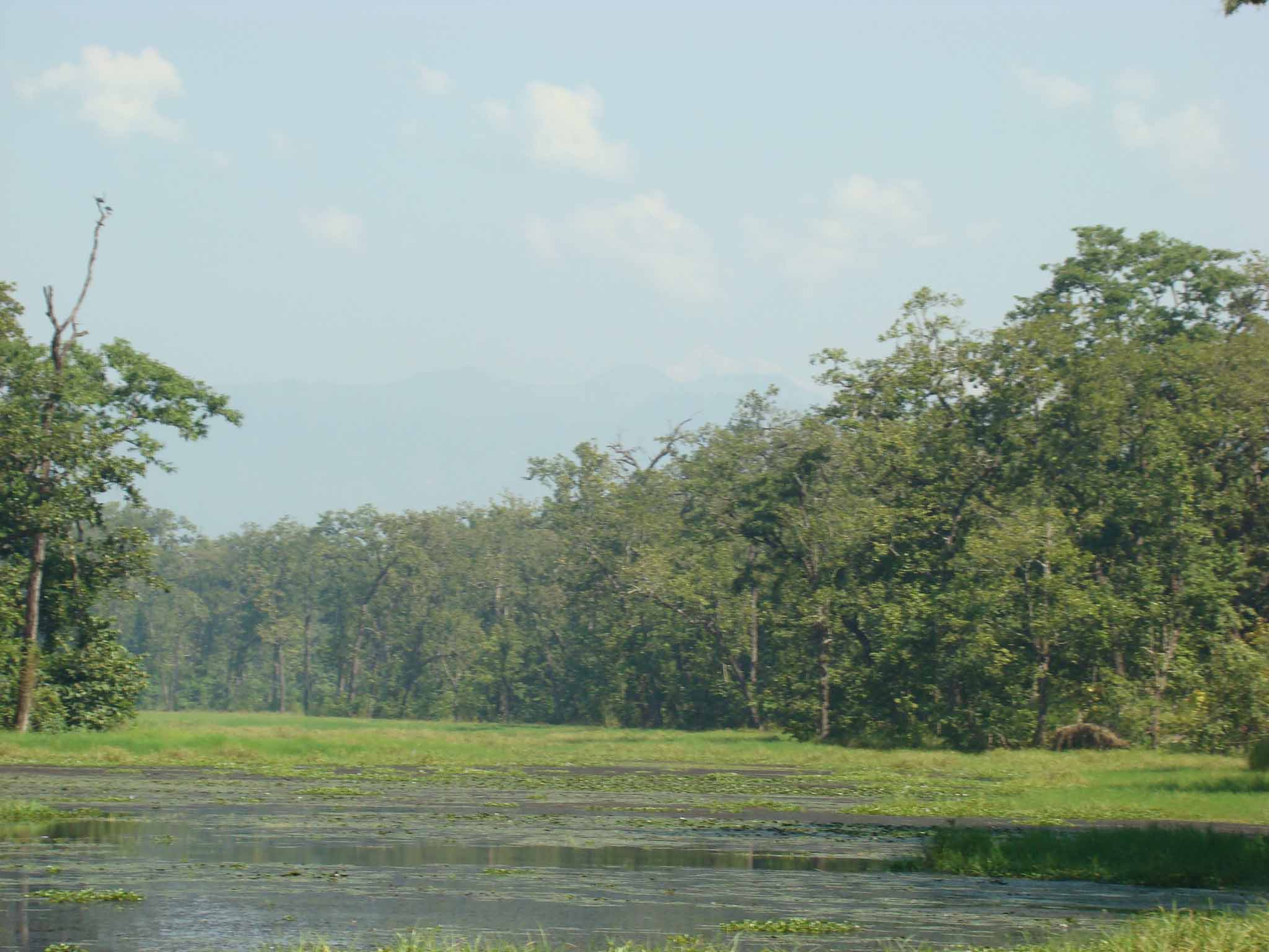
Gaurishankar Conservation Area (Established in 2010) is a biodiversity corridor connecting two national parks, Sagarmatha National Park and Langtang National Park. Gaurishankar Conservation Area (2,179 sq. km) is full of natural, cultural, and historical significance, due to an extended altitudinal gradient rich in biodiversity. This area is a mosaic of Hindu and Buddhist cultures. Tamang is the largest ethnic group, followed by Sherpa and Chhetri. Gaurishankar Conservation Area comprises 16 major vegetation types: Pinus Roxburghii forest, Schima-Castanopsis forest, Alnus forest, Pinus Wallichiana forest, Pinus Patula forest, Rhododendron forest, Quercus Lanata forest, Lower temperate oak forest, Lower temperate mixed broad-leaved forest, Abies forest, Upper temperate mixed forest, Temperate mountain oak forest, East Himalayan Oak forest, Juniper forest, Shrubland and Moist alpine scrubs. The area is covered by - Forest and bushes (44.5%), cultivation land (8.8%), grasslands (8.6%), glaciers (2.77%), barren land and others that make up the rest of the total area. This area harbours 565 species of plants, 35 species of mammals, 16 species of fish, 9 species of amphibians, 22 species of reptiles, and 235 species of birds.
Highlights
Duration: 10- 12 Days
Max Elevation: 4183 m / 13723 ft
Difficulty: Moderate
Season: March -June and Sept- Nov
Accommodation: Teahouse
Start / Finish: Chet Chet
River System: Tamakoshi River, Rolwaling River
Mountain system: Rowaling Range
Major Mountain Peak: Gauri Shankar and Menlungtse
Day plan
Gallery
Plan your visit
Share your details and the Mountain Mandala team will help you shape the next step for this program.
